

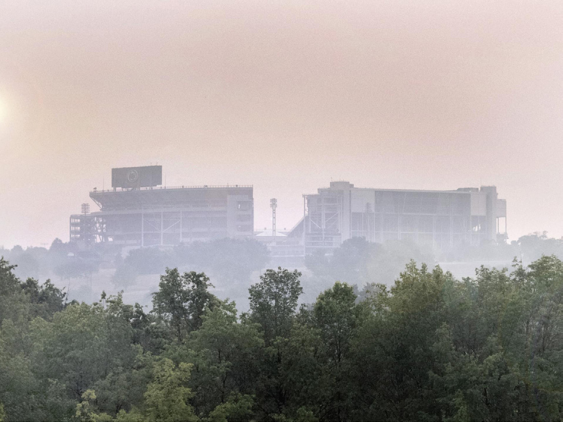
 Residents of the Northeastern United States were alert to air quality warnings this summer as wildfire smoke contributed to a noticeable orange haze in the sky. The concern centers on fine particulate matter (PM 2.5), which poses significant health risks, particularly to those with pre-existing conditions. Assistant Professor of Geography Manzhu Yu has innovated air quality models by incorporating artificial intelligence and mobility data to provide more accurate exposure assessments.
Published in Frontiers in Environmental Science, the research analyzed PM 2.5 data across eight metropolitan areas. The team integrated machine learning with land use regression models, considering both static and dynamic geographical factors to improve prediction accuracy. By including mobility data, the models could now identify hotspots of high pollution and pedestrian traffic, crucial for targeted public health responses.
Yu said, “Incorporating artificial intelligence and mobility data into air quality models can improve the models and help decision makers and public health officials prioritize areas that need extra monitoring or safety alerts because of unhealthy air quality.”