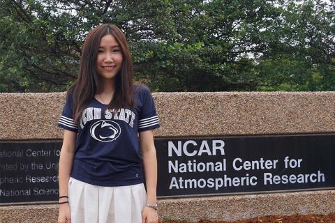
UNIVERSITY PARK, Pa. — Open-source code developed by a Penn State graduate could improve weather forecasting and a range of other research endeavors that rely on pairing atmospheric models with satellite imagery.
Yanni Cao, who earned her master’s degree in geography in 2016, developed the code while a member of Penn State’s Geoinformatics and Earth Observation laboratory (GEOlab) as a way to fix errors created when satellite data is combined with the Weather Research and Forecasting (WRF) model. The work was done in collaboration with her adviser, Guido Cervone, head of GEOLab, associate professor of geoinformatics and associate director of the Institute for CyberScience, and the National Center for Atmospheric Research (NCAR).
Read the Full News Story

