

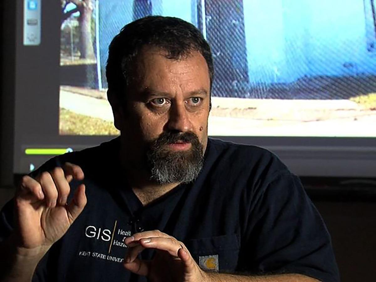
Coffee Hour to discuss spatial data collection in challenging environments
Andrew Curtis, professor in the Department of Population and Quantitative Health Sciences at Case Western Reserve University School of Medicine, will discuss his work responding to the COVID-19 pandemic and how his earlier work during Hurricane Katrina informed his approach, during a talk at 4 p.m. on Friday, April 15.
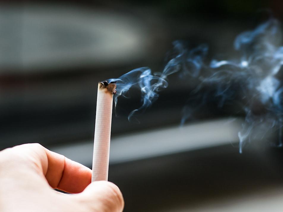
Flavored tobacco sales restrictions impact availability, advertising
Flavored tobacco products play a large role in leading youth into addiction, and it is estimated that three out of four youth smokers will continue to smoke well into adulthood, according to the U.S. surgeon general. A Penn State researcher is analyzing flavored tobacco sales restrictions and how they affect the availability of tobacco products and retailer advertising.
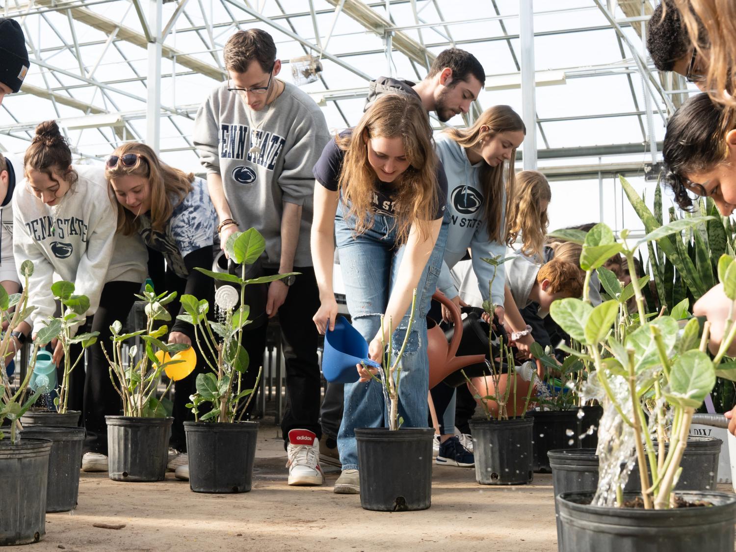
Community, Environment and Development Club helps break world record
As part of a nationwide Earth Day celebration, members of the Community, Environment and Development Club in Penn State’s College of Agricultural Sciences helped break a Guinness World Record for the most people watering plants simultaneously across multiple venues. The club’s president, Amelia Wyckoff, a freshman double majoring in community, environment and development and geography, was the event’s main organizer.
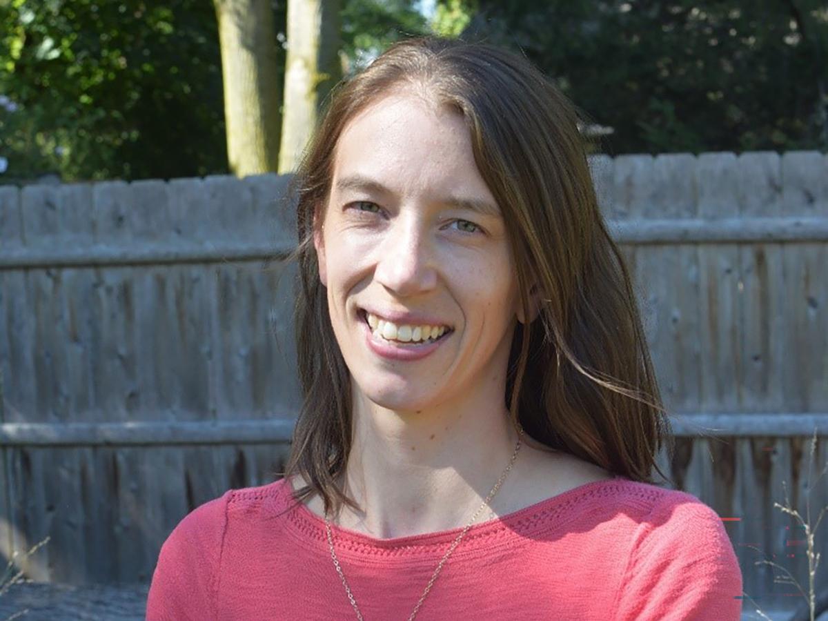
Coffee Hour to examine green infrastructure solutions for water management
Lauren McPhillips, assistant professor in the Department of Civil and Environmental Engineering and the Department of Agricultural and Biological Engineering at Penn State, will provide insights into the effectiveness of green infrastructure solutions for managing stormwater during a talk at 4 p.m. on Friday, April 1.
Miller Lecture: Stephanie Pincetl to discuss ‘just transitions’ to green energy
Stephanie Pincetl, professor and founding director of the California Center for Sustainable Communities at UCLA, will discuss just transitions to renewable energy sources at the annual E. Willard Miller Endowed Lecture at 4 p.m. Friday, March 25.
The talk will take place in 112 Walker Building and be broadcast over Zoom.
Coffee Hour to examine Afghan women’s activism, international intervention
Jennifer L. Fluri, professor and chair of the Department of Geography at the University of Colorado, Boulder and a Penn State alumnus, will examine international interventions in Afghanistan focused on women's rights and discuss their successes and failures during a talk at 4 p.m. on Friday, March 18.
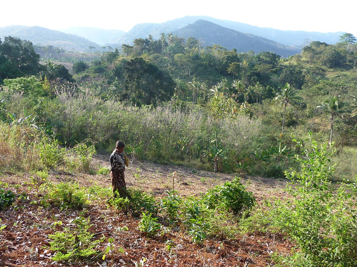
Researchers find direct links between deforestation and reduced dietary quality
The preservation of forests may help low- and middle-income countries meet their nutrition and environmental goals, according to researchers who found direct links between deforestation and reduced fruit and vegetable consumption in rural Tanzania.
Coffee Hour speaker to focus on migration, motherhood as infrastructures of care
Solange Muñoz, assistant professor of geography at the University of Tennessee, Knoxville, will discuss how studying migration, care and motherhood as infrastructures in their own right can help researchers better understand these processes during a talk at 4 p.m. on Friday, March 4.

Researchers to study possible links between fracking, water contaminants
Unconventional oil and gas development (UOGD), commonly known as fracking, has helped Pennsylvania retain its status as a leading energy exporter, but UOGD processes come with a host of environmental and public health concerns. A new grant from HEI Energy will allow researchers to explore possible links between fracking and water contaminants in southwestern Pennsylvania.
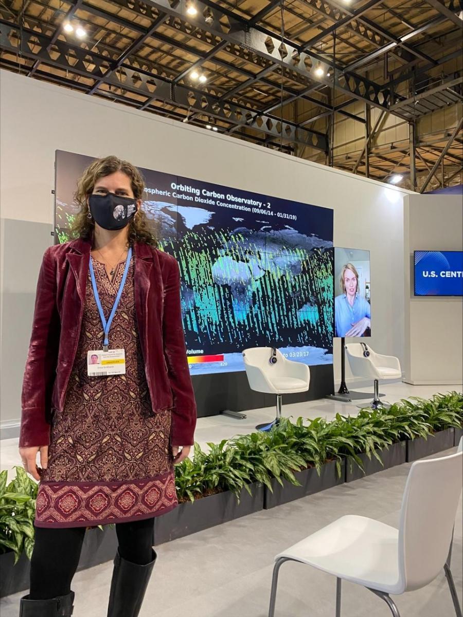
EarthTalks: Erica Smithwick to discuss changing climate narrative, conference
UNIVERSITY PARK, Pa. — The nations that sent representatives to the 2021 United Nations Climate Change Conference (COP26) in Glasgow, Scotland, pledged to take actions to keep global temperatures from rising above 1.5 degrees Celsius. Penn State attendee and COP26 presenter Erica Smithwick, distinguished professor of geography, will discuss key takeaways from the climate conference and the need to change the climate narrative during a talk at 4 p.m. on Monday, Jan. 24. The talk will take place via Zoom.