


Wildfire helicopter pilot steers project to honor former geography professor
Jim McCrory, the senior line pilot at Aspen Helicopters in Oxnard, California, has always been fascinated with location. That’s something that drew him to Penn State to earn his geography degree in 1973, and a belief in the importance of location has continued to guide him in his 33-year career as a helicopter responder to Western U.S. wildfires.

Brian King named head of the Department of Geography
UNIVERSITY PARK, Pa. — Brian King, professor of geography and associate head for the department’s resident graduate programs, has been appointed head of the Department of Geography. He began on July 1.
King succeeds Cynthia Brewer, who will remain an active member of the faculty after serving as department head since 2014.
Taylor to serve as interim director of Earth and Environmental Systems Institute
UNIVERSITY PARK, Pa. — Alan Taylor, professor of geography and ecology, will serve as interim director of the Penn State Earth and Environmental Systems Institute (EESI) while director Susan Brantley is on sabbatical. His appointment began July 1.
“EESI is lucky that Alan Taylor can take the helm,” said Brantley, distinguished professor of geosciences. “He has always been an EESI associate who does work for EESI committees and the EESI student cohort. He knows the ins and outs of how EESI operates.”
Geographic visualization trailblazer Alan MacEachren to retire
UNIVERSITY PARK, Pa. — Alan MacEachren, professor of geography and information science and technology and longtime director of the GeoVISTA Center from its formation in 1998 until 2020, announced his retirement this summer after 36 years at Penn State.
Online geospatial education faculty member receives mentoring award
Beth King, associate teaching professor and assistant program manager of the online geospatial education program received the 2021 Carolyn Merry Mentoring Award from the University Consortium for Geographic Information Science (UCGIS).
“It was a pleasant surprise,” King said. “And I am thankful to my colleagues who nominated me.”
Diana Sinton, the executive director of the UCGIS, said King received the award due to her mastery at building rapport.
University award fuels graduate student's love for teaching
Saumya Vaishnava, a doctoral student in the Penn State Department of Geography, has received a 2021 Harold F. Martin Graduate Assistant Outstanding Teaching Award, which is sponsored jointly by the Graduate School and the Office of the Vice President and Dean for Undergraduate Education. Vaishnava received the department’s Outstanding Graduate Teaching Assistant Award in 2020.
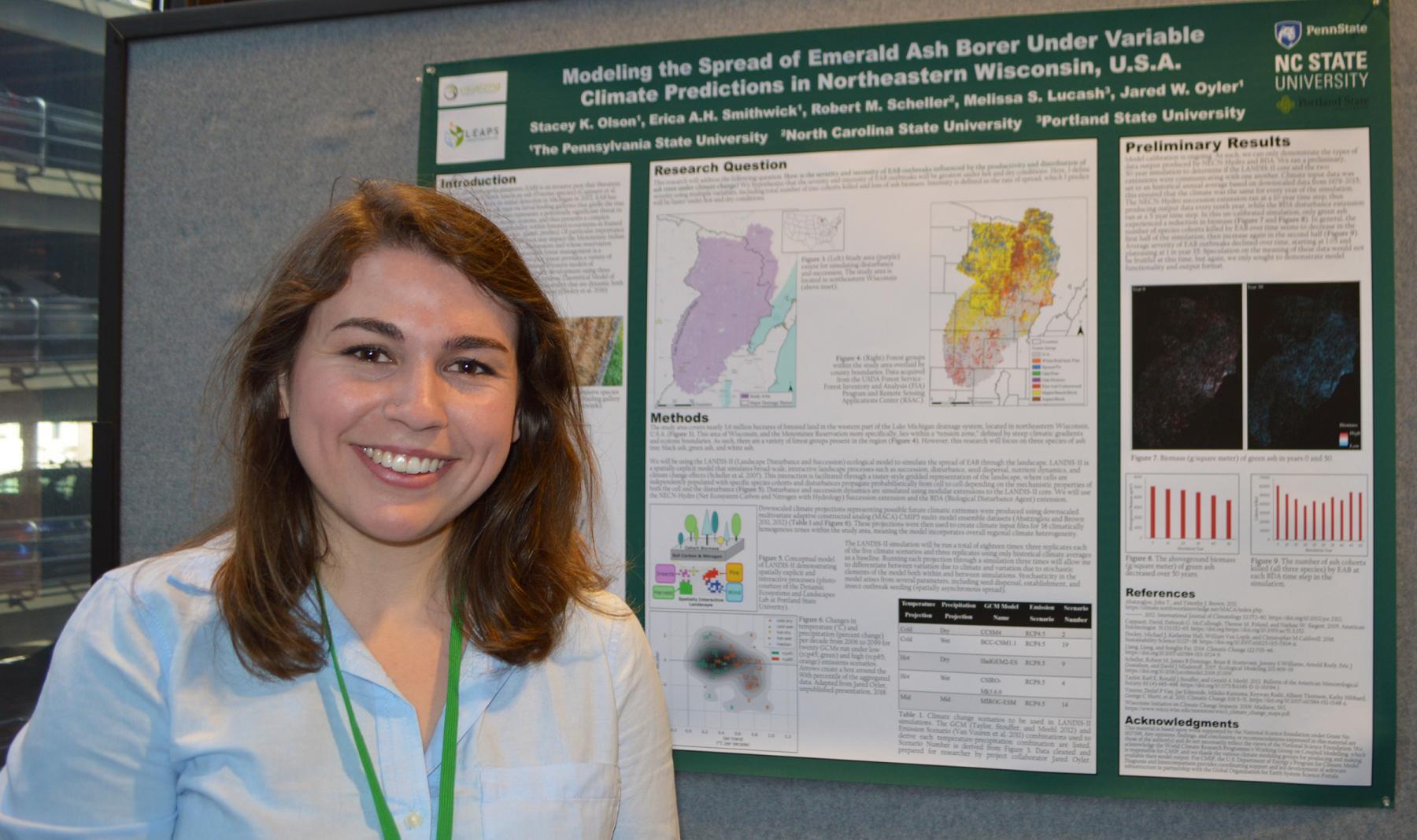
Climate change a bigger threat to landscape biodiversity than emerald ash borer
The emerald ash borer, an invasive beetle native to Southeast Asia, threatens the entire ash tree population in North America and has already changed forested landscapes and caused tens of billions of dollars in lost revenue to the ash sawtimber industry since it arrived in the United States in the 1990s. Despite the devastating impact the beetle has had on forests in the eastern and midwestern parts of the U.S., climate change will have a much larger and widespread impact on these landscapes through the end of the century, according to researchers.

Alumni connections help EMS students gain employment edge
Hannah Perrelli knows exactly what drew her to the College of Earth and Mineral Sciences (EMS). It was the camaraderie between students and the engagement with faculty, staff and alumni who frequented the University Park campus.
It wasn’t even the major, geography, that drew her in. She found that later.
When the COVID-19 pandemic hit, she thought “why should things be any different?”
New Administrative Fellow will bring ecological approach to her experience
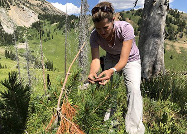
UNIVERSITY PARK, PA. — Erica Smithwick, Penn State distinguished professor of geography and associate director of the Institutes of Energy and the Environment, was selected as an Administrative Fellow for the 2021–22 academic year.
The Administrative Fellows Program enables participants to strengthen their administrative talents and qualifications by working with a Penn State leader in a mentoring relationship. Fellows increase their understanding of the contexts within which decisions are made and of the work done in units across the University.
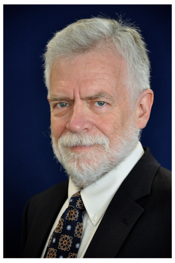
Associate Vice Provost for Global Programs Rob Crane to retire July 2021
Penn State Global Programs has announced that Associate Vice Provost Rob Crane will retire in July 2021 from the University after 36 years as a faculty member and an administrator.